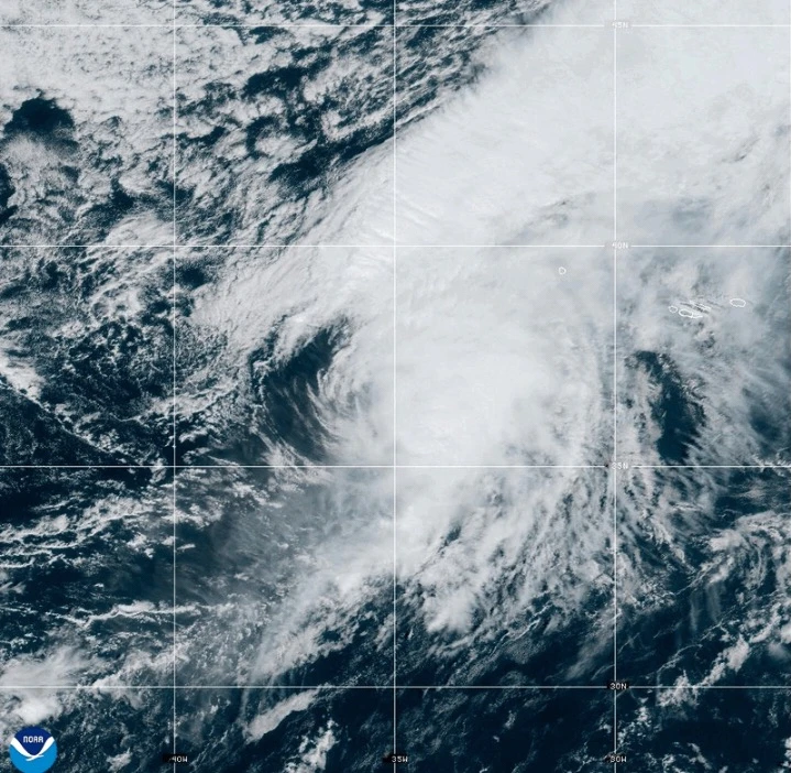
MIAMI (AP) — A fast-moving Hurricane Gabrielle is expected to bring heavy rain, high winds, and a storm surge to the Azores islands starting Thursday night into early Friday, according to forecasters.
A hurricane warning is in effect for the entire volcanic archipelago, with the Miami-based National Hurricane Center cautioning that dangerous conditions are imminent. Preparations for the storm should be completed as soon as possible.
As of Thursday afternoon, Gabrielle was approximately 455 miles (730 kilometers) west of the Azores, packing maximum sustained winds of 75 mph (120 kph) and moving east at 32 mph (52 kph).
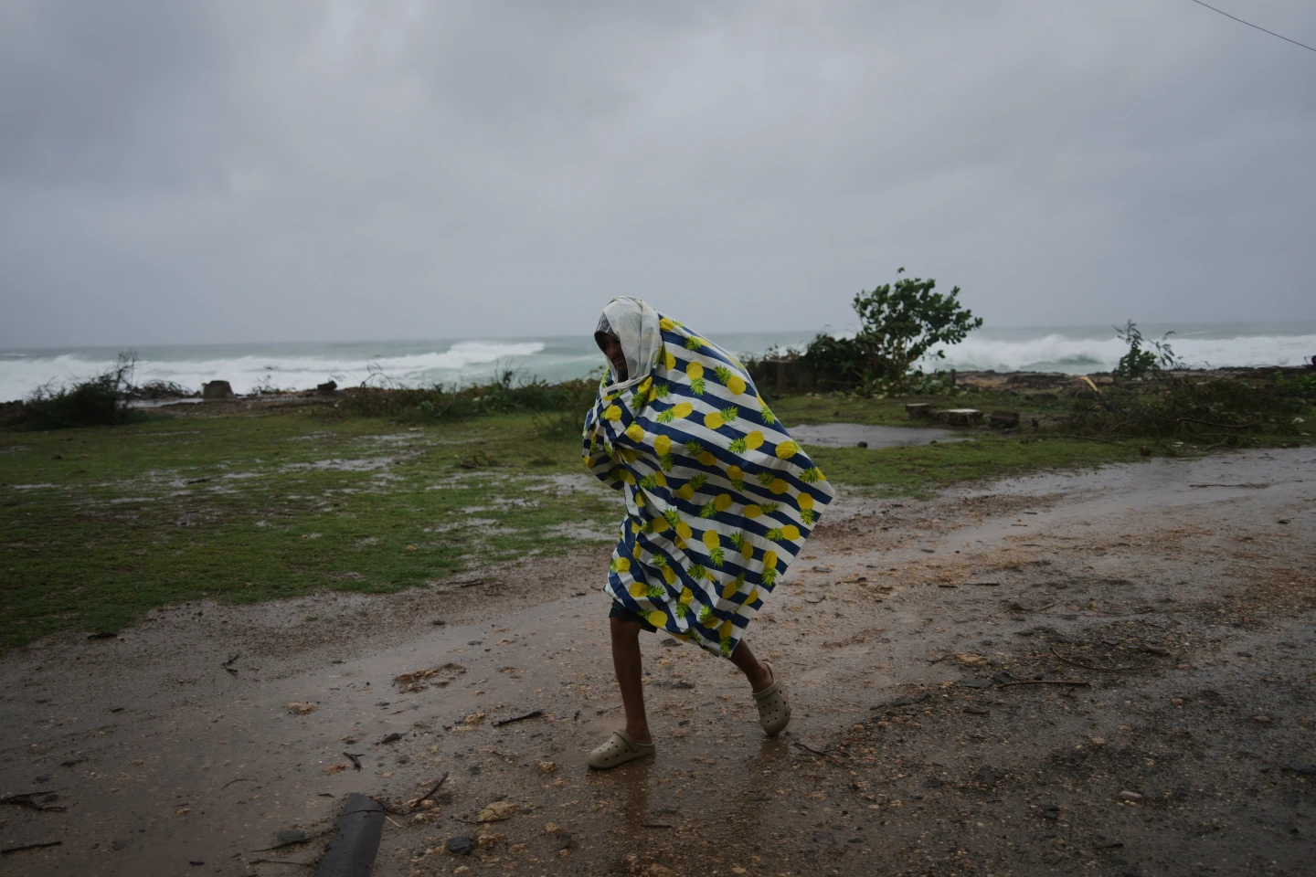
Life-threatening surf and rip current conditions are also anticipated, affecting not only the Azores but also Bermuda, the northeastern U.S. coast, and Atlantic Canada. Swells from the storm are predicted to cause significant coastal flooding due to onshore winds.
Forecasters project that Gabrielle will retain hurricane strength while passing through the Azores but will weaken through the weekend. Even as the storm center moves past, forecasters warn that strong hurricane-force wind gusts are likely to persist in some island areas.
Tropical Storm Humberto, forming near the Caribbean islands, was reported as being located 465 miles (750 kilometers) east-northeast of the northern Leeward Islands with sustained winds of 50 mph (85 kph) as of Thursday morning. This storm is also expected to strengthen and could become a hurricane shortly.
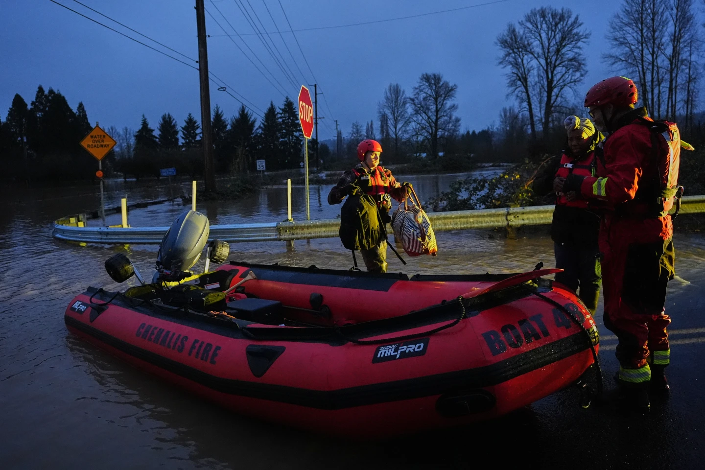
A cluster of storms currently west of Humberto has already dropped heavy rain on the Dominican Republic, causing flooding incidents in Puerto Rico, resulting in fatalities. As the weather systems continue to evolve, tracking their paths and impacts will remain crucial for those situated in affected areas.
In the Pacific, Hurricane Narda is also being monitored as it moves away from Mexico, with forecasters indicating potential for restrengthening to a Category 2 storm. Residents are advised to remain vigilant as the tropical systems unfold.