MIAMI (AP) — Hurricane Humberto is forecasted to deliver hazardous surf conditions for Bermuda and the U.S. East Coast this week, while Tropical Storm Imelda is intensifying near the Bahamas, according to meteorologists.
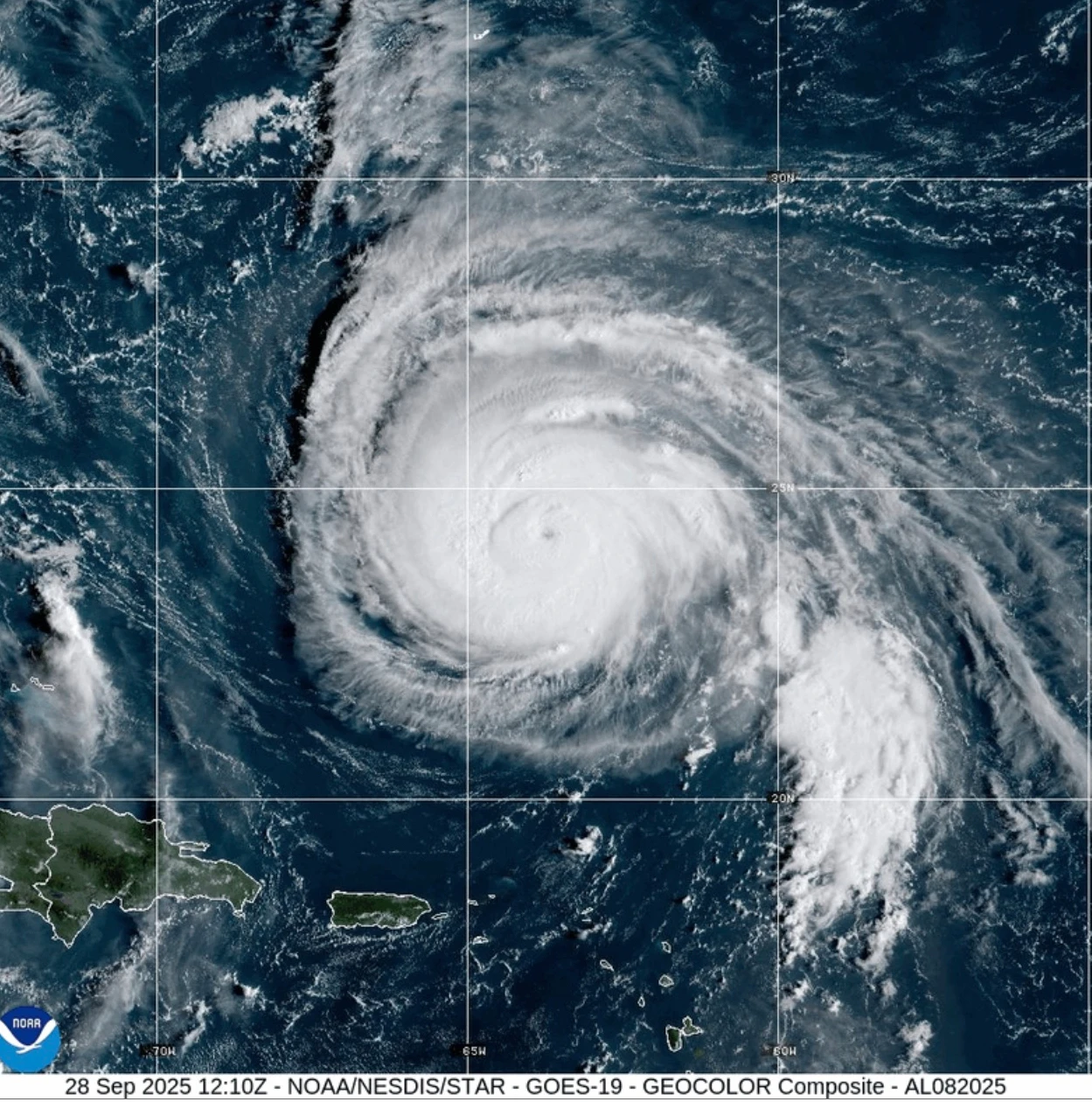
Humberto has been classified as a formidable Category 4 storm, with a Tropical Storm Watch currently in effect for Bermuda, as reported by the National Hurricane Center in Miami.
As of 2 a.m. EDT, Humberto was positioned roughly 400 miles south-southwest of Bermuda, advancing northwest at 14 mph and sustaining maximum winds of 140 mph. This intensity could waver over the next few days, though it is anticipated that the storm will continue as a major hurricane.
Imelda, which formed on Sunday, is also gaining strength. It was located about 130 miles northwest of the central Bahamas, moving north at 8 mph with maximum winds of 45 mph.
Imelda's Impact on the Bahamas and Cuba
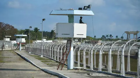
On Sunday, Imelda posed a threat to Cuba and the Bahamas with expected heavy rains and flash flooding, prompting tropical storm warnings across numerous islands.
The Bahamas’ Department of Meteorology has indicated that moderate to heavy rainfall will persist over the northwest and central islands—including Nassau and Andros Island—with estimates suggesting rainfall totals could exceed 6 inches, potentially reaching up to 12 inches in some areas.
Residents in low-lying regions have been advised to take precautions against flood risks.
In New Providence Island, the usually bustling streets remained deserted due to ongoing rain, while cancellations disrupted flight schedules across the islands.
As South Carolina prepares for potential impacts from Imelda, Governor Henry McMaster highlighted the unpredictability of storms. In North Carolina, a state of emergency has already been declared as a precautionary measure.
For ongoing updates, residents are encouraged to monitor local news and heed any warnings from authorities.