A powerful winter storm was sweeping east from the Plains on Sunday, driven by what meteorologists describe as an intense cyclone, setting off a chain reaction of snow, ice, rain and severe weather expected to affect much of the country.
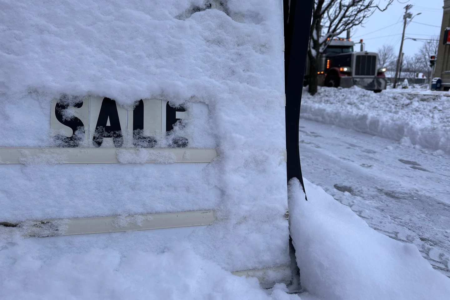
Snow and strengthening winds spread across the Upper Midwest, where the National Weather Service warned of whiteout conditions and possible blizzard conditions that could make travel impossible in some areas. Snowfall totals were expected to exceed a foot across parts of the upper Great Lakes, with up to 2 feet (61 centimeters) possible along the south shore of Lake Superior.
In the South, meteorologists warned of severe thunderstorms expected to signal the arrival of a sharp cold front—sometimes referred to as a Blue Norther—bringing a sudden temperature drop and strong north winds that would end days of record warmth across the region.
Over the next 48 hours, the cyclone is expected to produce heavy snow and blizzard conditions in the Midwest and Great Lakes, freezing rain in New England, thunderstorms across the eastern U.S. and South, and widespread strong winds.
The storm is projected to intensify as it moves east, drawing energy from a significant clash between frigid air plunging south from Canada and unusually warm air that has lingered across the southern United States, according to the National Weather Service.
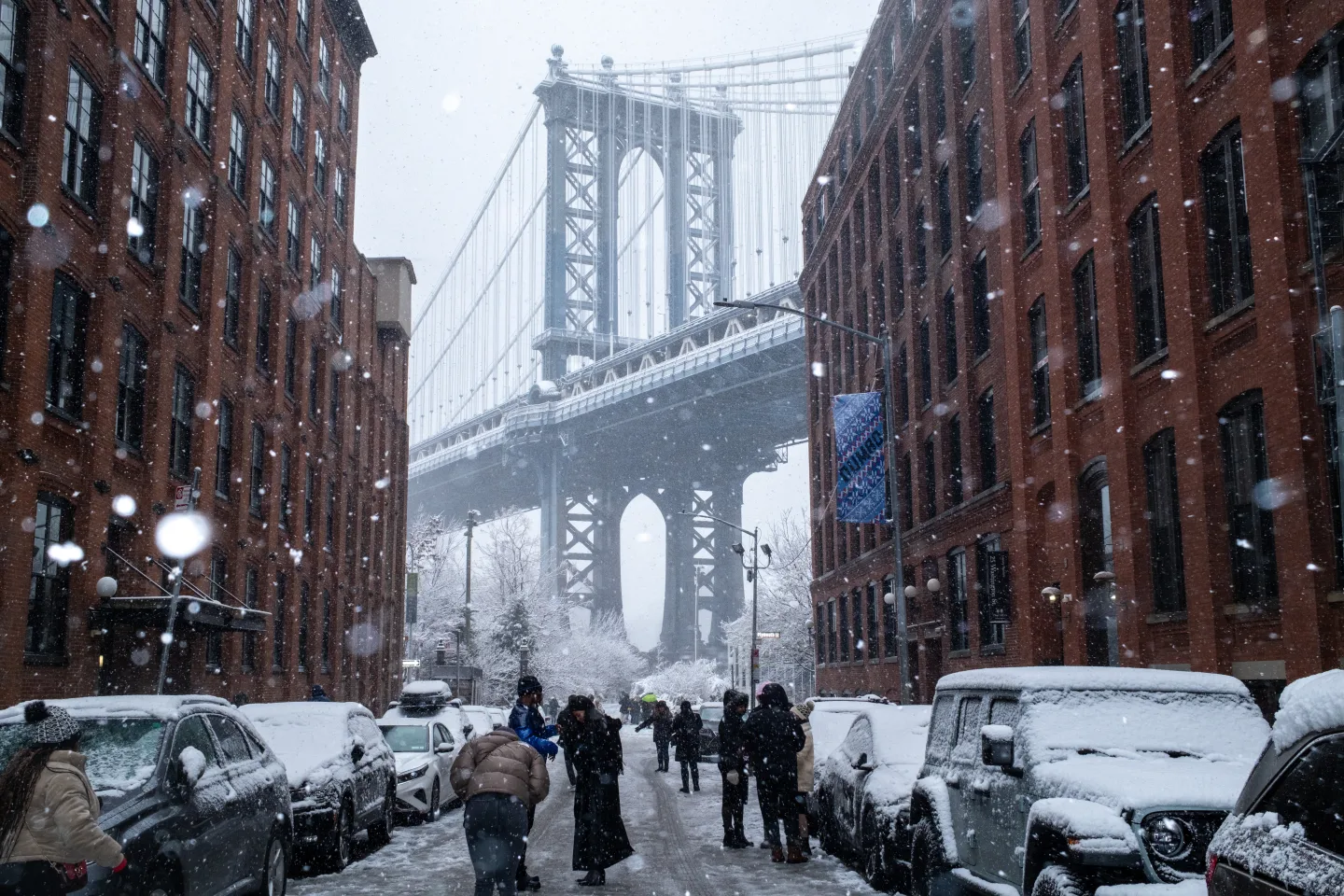
This weather pattern follows a weekend of significant flight delays and cancellations across the Northeast and Great Lakes regions due to snow, as thousands of travelers made their way through roads and airports during the busy period between Christmas and New Year’s.
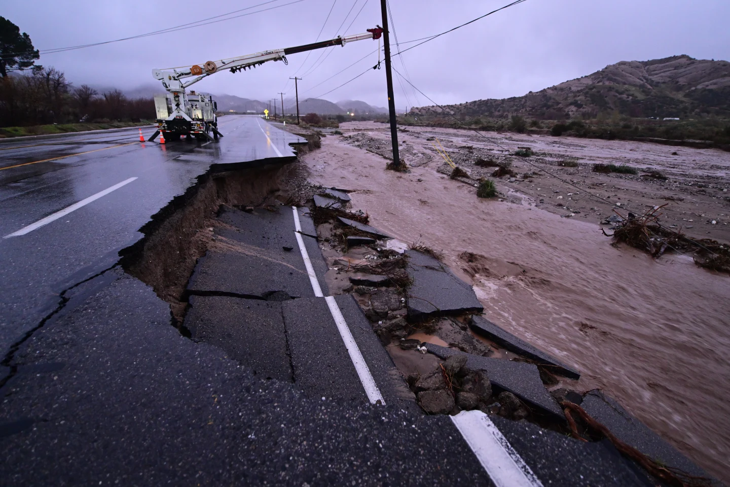
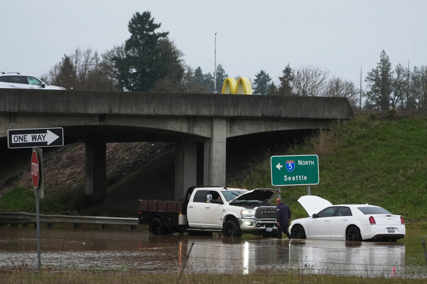
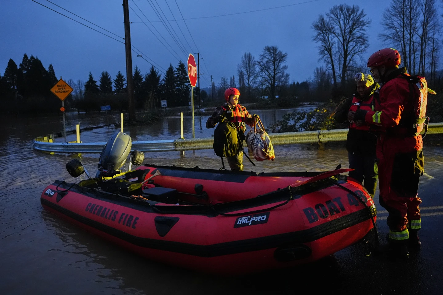
Meanwhile, California experienced a relatively dry weekend after recent powerful storms brought heavy rains, flash flooding, and mudslides. At least four fatalities have been reported, including a man found dead in a submerged car.