A weekend storm sent temperatures plunging well below zero in the Midwest and dumped heavy snow on parts of the Northeast on Sunday, creating many airport delays and slick roads as the Pacific Northwest braced for more rain after days of flooding and mudslides.
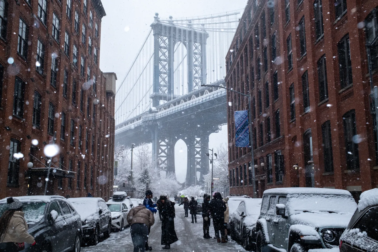
The storm began Saturday and brought up to several inches of snow in the New York-New Jersey metro area, marking the region’s first significant snowfall of the season. Light snow also fell over parts of New England. The storm was expected to weaken by Sunday night, followed by arctic conditions, with overnight windchill temperatures plummeting below zero degrees Fahrenheit (-18 Celsius).
In New Jersey, crews and contractors were actively plowing and treating roads, while the state Department of Transportation advised residents to avoid unnecessary travel. Elsewhere, salt spreaders and plows worked overnight to clear snow from roads and bike lanes, as New York City’s Department of Sanitation reported online. Meanwhile, Pennsylvania temporarily reduced speed limits on interstates to 45 mph (72 kph).
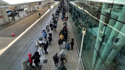
Flight tracking site FlightAware recorded over 1,000 flight delays and more than 100 cancellations at U.S. airports due to the weather.
As the cold snap swept south from Canada, the National Weather Service in Chanhassen, Minnesota, reported Sunday morning was the coldest of the season, with temperatures plummeting to -10 degrees Fahrenheit (-23 Celsius) at Minneapolis-Saint Paul International Airport, and as low as -22 degrees Fahrenheit (-30 Celsius) in some nearby communities.
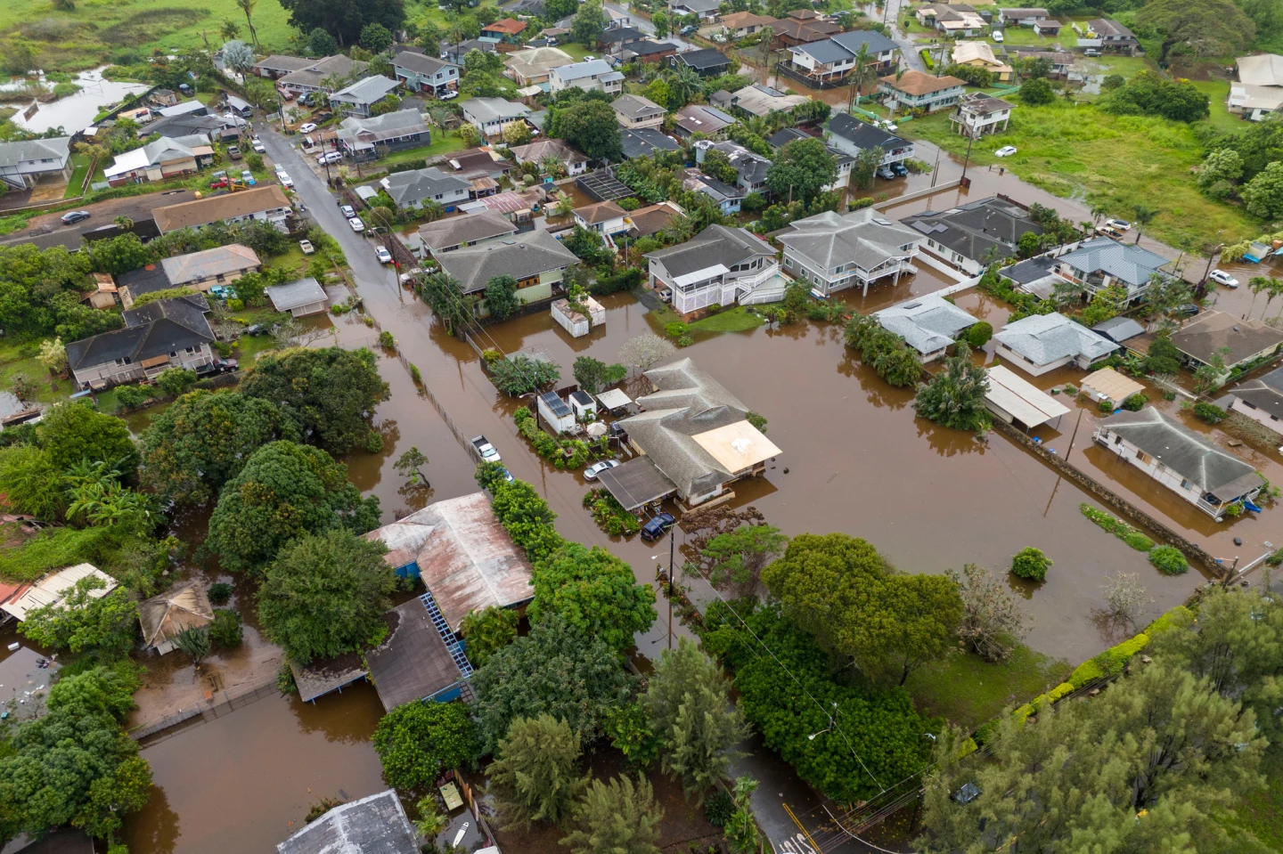
In the Pacific Northwest, which has seen catastrophic flooding forcing thousands to evacuate, additional rain and wind were expected to arrive as early as late Sunday, according to forecasters.