MIAMI (AP) — A storm without a name and unusual king tides were causing some flooding on the Carolina coast early Friday as tropical storms churned in the Atlantic and along Mexico’s Pacific coast.
About a dozen streets in Charleston, South Carolina, have been flooded already, prompting the city to offer free parking in selected garages. An 8.5 feet (2.6 meters) high tide was forecast for Friday morning, potentially ranking as the 13th highest in over a century in Charleston Harbor.
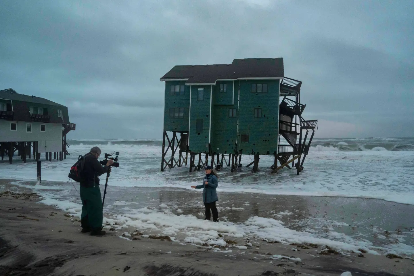
The unnamed coastal storm and unusually high king tides—when the moon is unusually close to Earth—threatened to bring days of heavy winds and flooding particularly along the vulnerable Outer Banks of North Carolina and Charleston.
Forecasters predicted the most severe weather would affect the Outer Banks from Friday through the weekend, with warnings that highway N.C. 12 on Hatteras and Ocracoke islands could face closures due to ocean overwash.
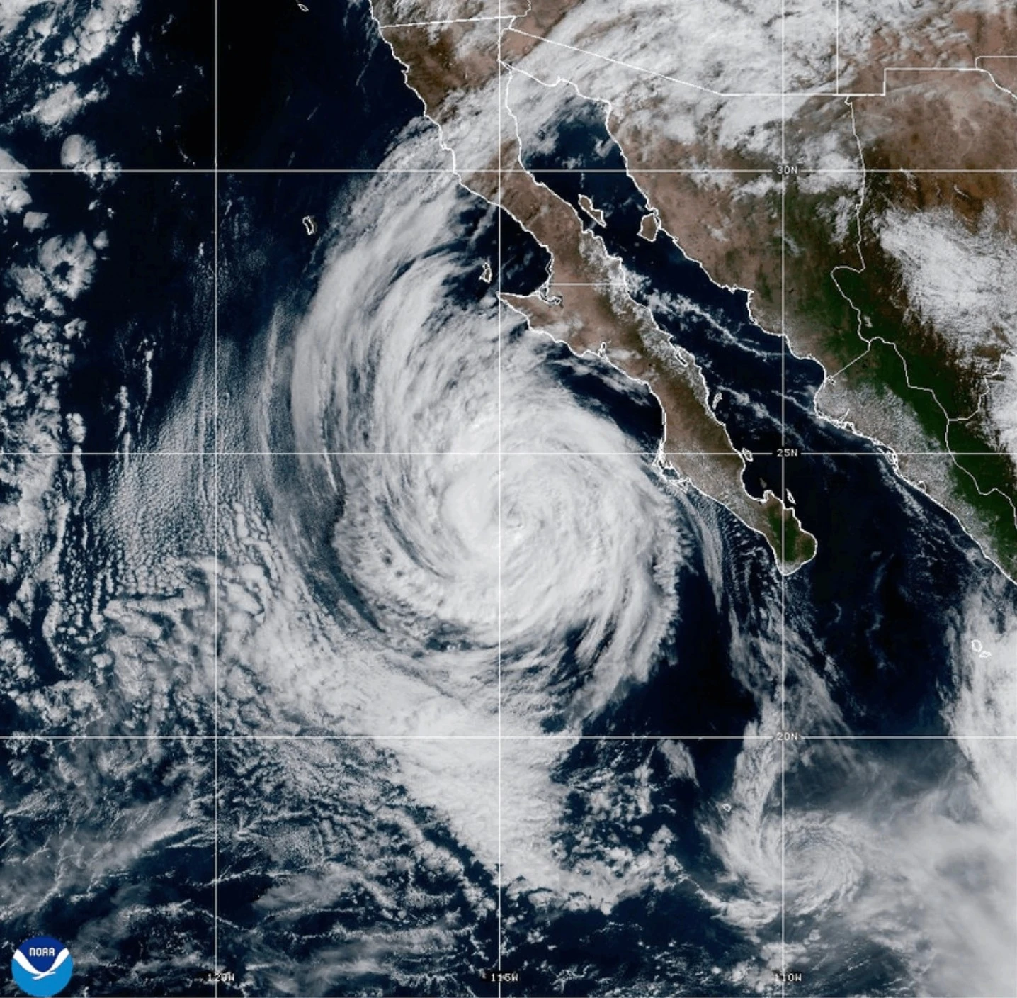
On the Mexican Pacific coast, Tropical Storms Priscilla and Raymond are churning, bringing heavy rains that threaten flash flooding across the U.S. Southwest into the weekend, with flood watches issued for parts of Arizona, California, and Nevada.
Priscilla was centered about 190 miles (300 kilometers) west-northwest of Cabo San Lazaro, moving north at 6 mph (9 kph), with maximum sustained winds of about 50 mph (85 kph). Raymond was positioned about 95 miles (150 kilometers) south-southeast of Zihuatanejo, Mexico, and had similar wind speeds, moving west-northwest at 15 mph (24 kph).
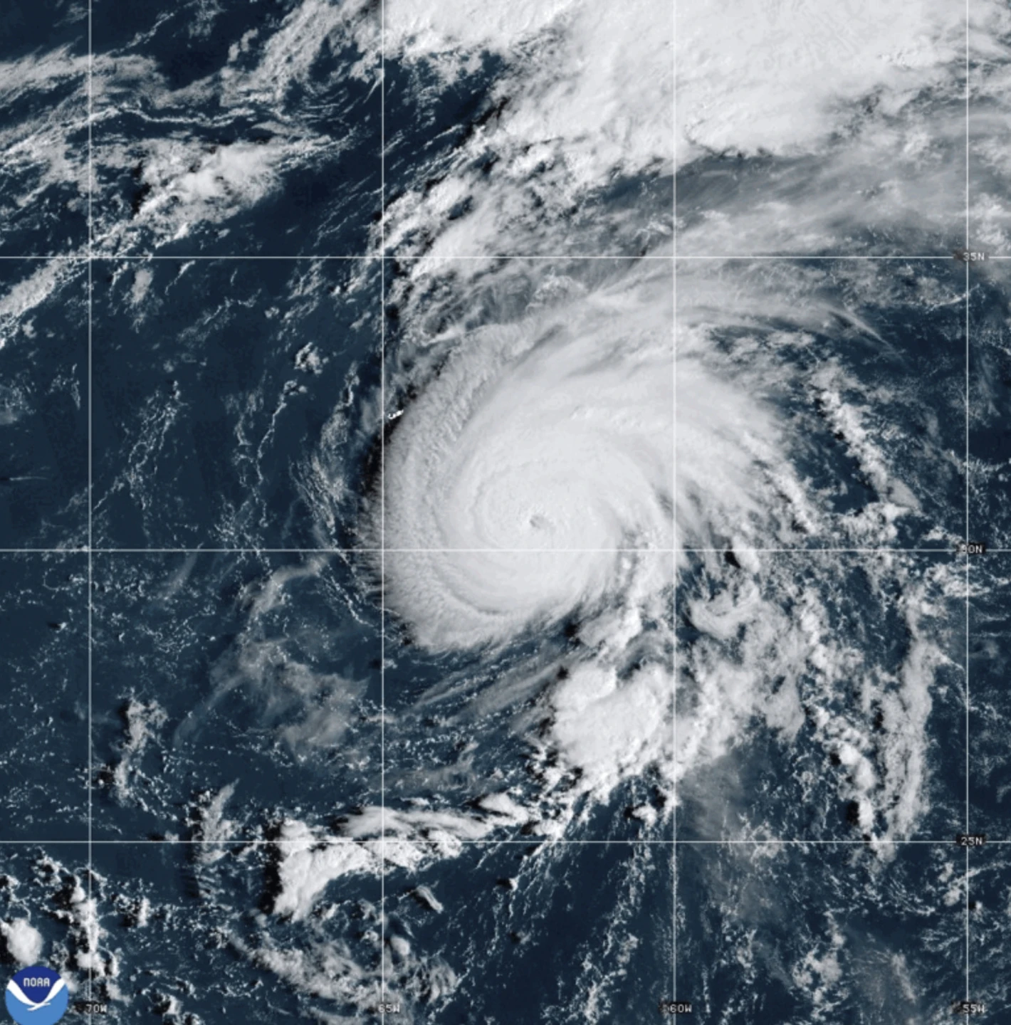
The Atlantic hurricane season still has several weeks remaining, and meteorologists are watching closely as the Pacific cooling pattern known as La Nina returns, potentially altering weather patterns and hurricane activity.