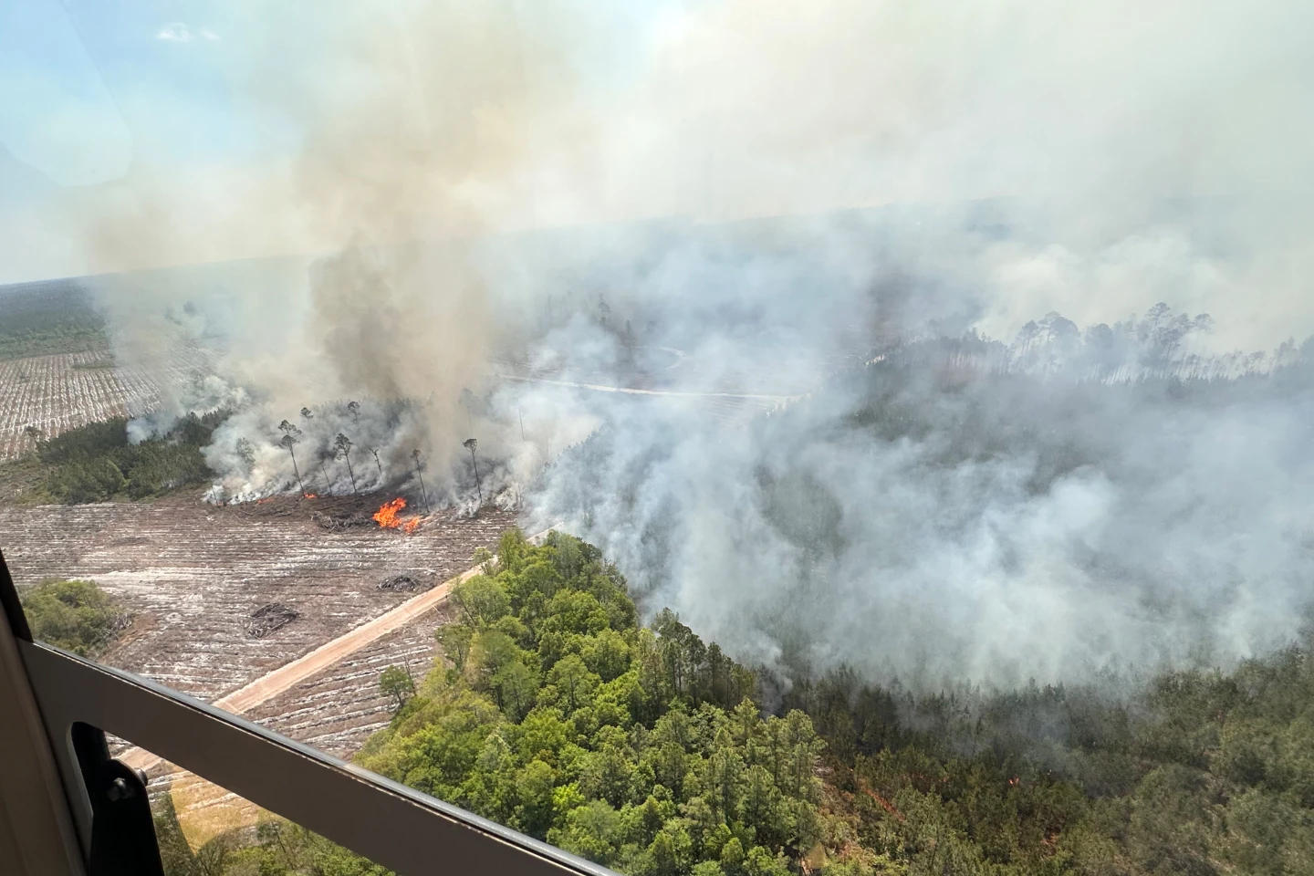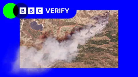
Satellite images have revealed the scale of two wildfires spreading in Southern California, notably the Sandy Fire igniting in Simi Valley, northwest of Los Angeles. California Governor Gavin Newsom confirmed that the fire, which erupted on Monday morning, has generated a large plume of smoke, clearly visible from space.
As of Tuesday morning, 750 firefighters are engaged in combatting the flames, supported by helicopters conducting nighttime water drops to tackle hotspots. The Simi Valley Police Department reported that the fire was ignited after an individual accidentally hit a rock with a tractor, sparking a blaze that has since consumed 1,364 acres (550 hectares) without any containment thus far.
NASA's wildfire monitoring technology has tracked active hotspots, indicating potential spread overnight. Over 10,000 homes have been evacuated from Simi Valley and nearby communities, with additional homes under evacuation warnings into Los Angeles county, although officials do not currently expect the fire to reach the city itself.
These fires have been exacerbated by high winds, although conditions calmed later on Monday. In response, the Simi Valley Unified School District has canceled classes across all campuses on Tuesday.
In addition, another significant fire on Santa Rosa Island has burned approximately 14,600 acres (6,000 hectares) of the Channel Islands National Park. Though largely uninhabited, the island holds unique ecological significance. Firefighters and park rangers are battling this blaze as it moves inland.